
The Ride
This has been one of the snowiest winters in many years here, so it had been a couple of months since I could last ride. But some warmer temps combined with rain helped clear the last bit of ice and snow on the roads, along with the salt, so I was eager to pull a bike out of the garage for a ride.
As I set up for the ride at my starting point in Cross River, New York, the Beeline Compass indicated 25 miles as the crow flies to my destination in Cornwall, New York, on the other side of the Hudson River. See our article on discovering new roads with Beeline.
I thumbed the starter on the BMW R18 Classic and headed west on Route 35. I stayed on this road to the Bear Mountain Parkway and then around the traffic circle to get onto Route 6/202. I headed past Camp Smith along the eastern bank of the Hudson River toward the Bear Mountain Bridge. This road is a local favorite for riders, and I saw some riders braving the still-chilly temperatures, requiring heated gear.
Cornwall is on the north side of Storm King Mountain, so I’d need to cross it no matter what. I tried to take Route 218 along Storm King Mountain by West Point. I thought it had reopened following the washouts that had closed it for the better part of a year. Perhaps it hasn’t been cleared with the weather and snow, and riders must wait until warmer weather to try again. It was closed just past the main gate to West Point.
A quick backtrack to get onto Route 9 allowed me to climb Storm King from a different route. I was surprised there was still so much salt along the road here, but given the steepness of the ascent and descent along with several tight turns, the highway department is being extra cautious. There was still some snow visible on the side of the roads here, so it’s always fun to see how micro-climates can cause such differences in temperature over a relatively small distance.
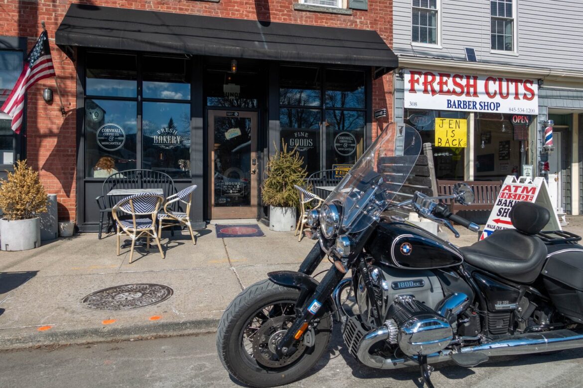
Once over the mountain, I descended toward Cornwall. A few turns brought me to the roundabout leading into the village, where there was some road construction for the nearby bridge. I made a U-turn and found a spot right in front of the coffee shop.
Unfortunately, my Rever app appeared to have crashed, as it was no longer recording. It had recorded only the first 0.1 miles of the route, so it crashed after I started. Fortunately, the Beeline app also records the path, showing I’d traveled 46.1 miles. I loaded that path into Rever; you can see the route below.