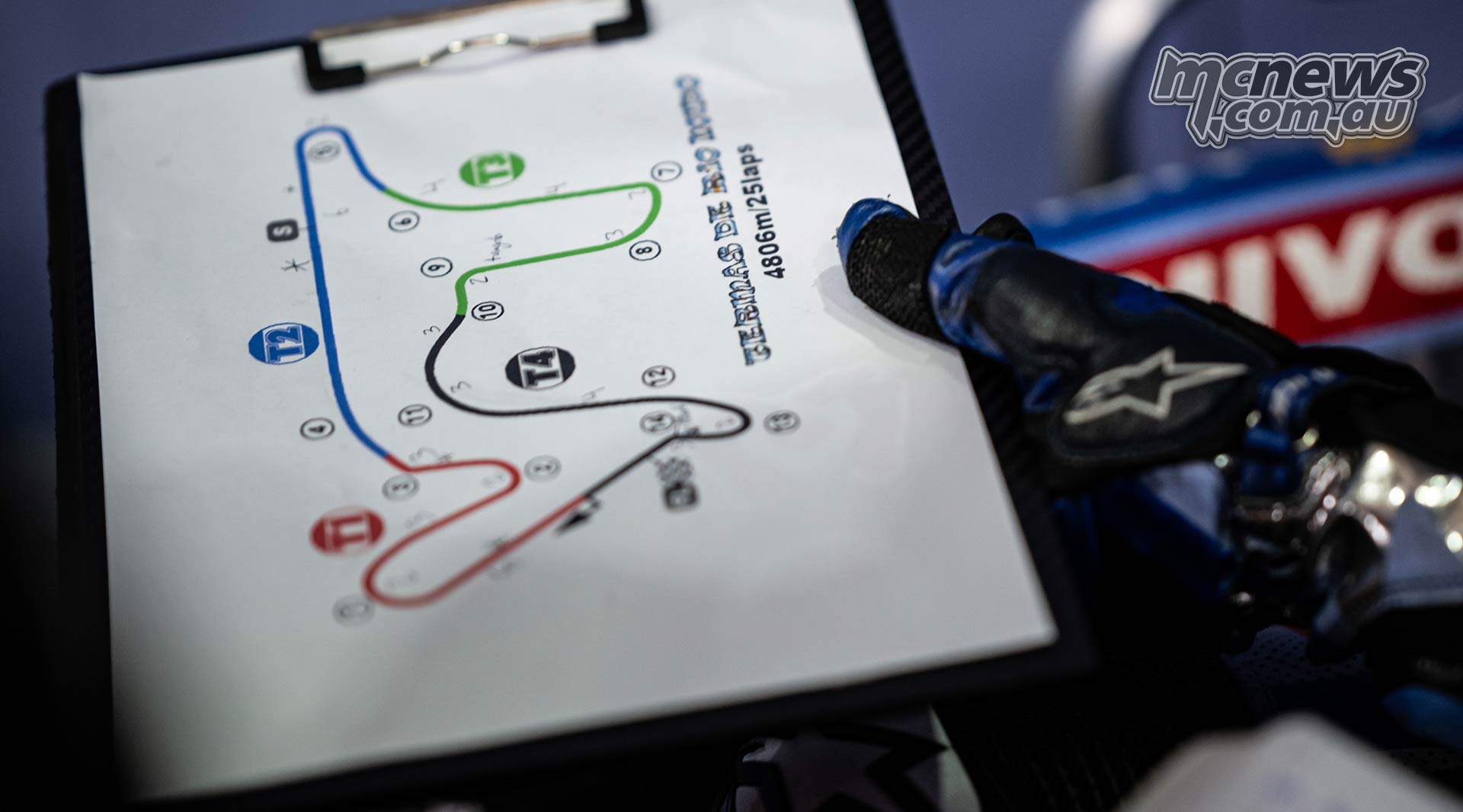

The Ride
A beautiful, clear summer morning was the perfect start for the day. I was joined by a riding buddy who had come on a few coffee rides on Tank of Coffee as we departed from Cross River, NY. Our ride wouldn’t be long as we headed to another New York coffee spot. The Beeline Moto’s Compass mode indicated 16.3 miles as the crow flies. See our article on discovering new roads with Beeline.
We sometimes use affiliate links in our content. This won’t cost you anything extra, but if you purchase something from one of the links, we may earn some money for coffee. As an Amazon Associate, I earn from qualifying purchases.
My friend was aboard his new-to-him Honda Goldwing F6B while I was on the BMW R1200GSA. With both boxer engines fired up, we headed north on Route 121 for a few miles before turning west on Route 138 to match the compass heading. This brought us across Route 22 and Interstate 684 just before the road became a causeway across the Muscoot Reservoir. I would have preferred to turn off onto Plum Brook Road, but the old bridge that crossed the reservoir at the end of it has been closed for several years now, so we stayed on Route 138 till it ended at Route 100.
With a left on Route 100, we continued south to find the other side of Plum Brook Road and headed west. The road climbs a hill as soon as you get onto it with a pair of doglegs before it ends at Route 139. It’s a lovely local road to climb out of the valley where the reservoir is located.
Route 139 runs perpendicular to our intended direction, so I took a left with the Goldwing following behind and then a quick right onto Van Rennselaer Road, which then joins Route 35. While we could have taken Route 35 directly from Cross River, our route was more interesting.
Route 35 passes by Lasdon Park on the left. Lasdon Park was an estate built in 1933 with a colonial-style house modeled after George Washington’s Mount Vernon. It has been owned by Westchester County since 1986.
After the Park ends, the road makes a 90-degree turn to head north toward the dam for the Amawalk Reservoir. Just before the road would turn west beneath the dam, we broke off onto Lake Road, running alongside the reservoir. Whenever I can take a road alongside a river or reservoir, I do, as they tend to be more scenic and windy. Our article on finding the best biking roads gives more tips.
We continued to loop around the reservoir on Route 202 and then took Granite Springs Road to continue west, matching the compass indication. This brought us by Stuarts Fruit Farm, a popular family-operated farm since 1828 where you can pick apples, peaches, and pumpkins in the fall. Their store offers plenty of delicious pies as well. While there is limited parking along the gravel driveway near the store, in the busy season, they overflow into the grass fields on the other side of the street, so if you come on a bike, be ready for that.
Our diversion onto Granite Springs Road ends as it rejoins Route 202 in Yorktown. We stayed on Route 202, heading toward our destination as it perfectly aligned with the compass heading. The road passes under the Taconic State Parkway and several shopping centers on either side, and the distance to our goal kept counting down. The road is now dual-named Crompond Road and Route 202. As we arrive in Peekskill, Route 202 switches to South Broad Street, heading north, but we stay on Crompond, which leads us right to the shop.